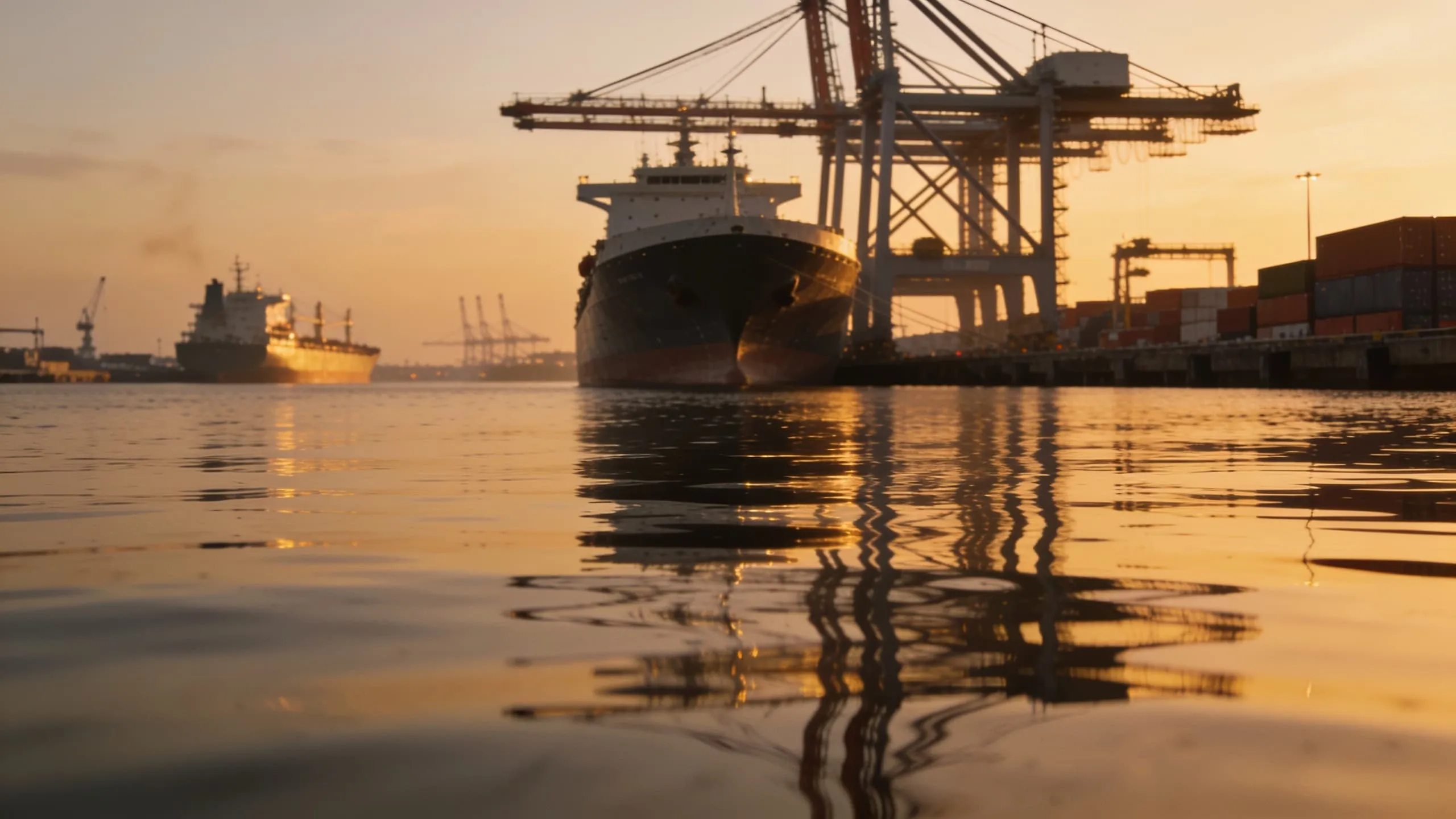
Speed through water, over ground — and the current.
SeaVelo brings the vessel's speed and distance data onto one bridge display: speed through water with trip and total log, dual-axis docking speeds, rate of turn, depth, and the set and drift of the current derived from the difference between STW and SOG.
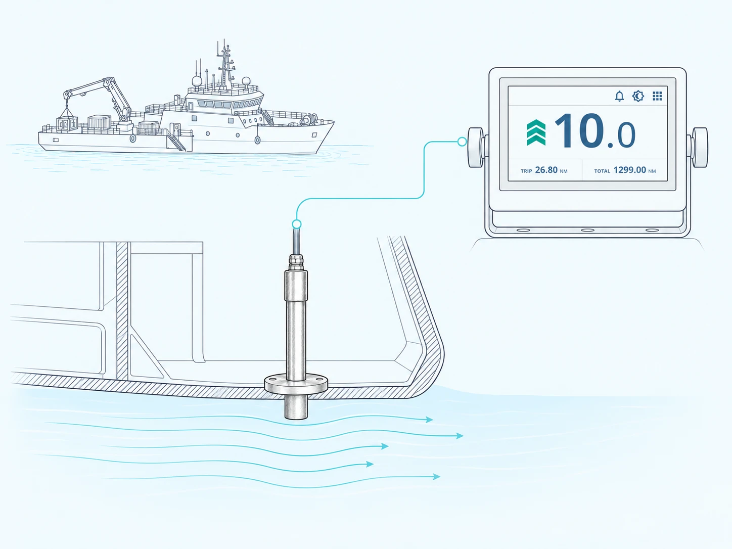
Speed measured in the water, not from a fix.
Through-water measurement
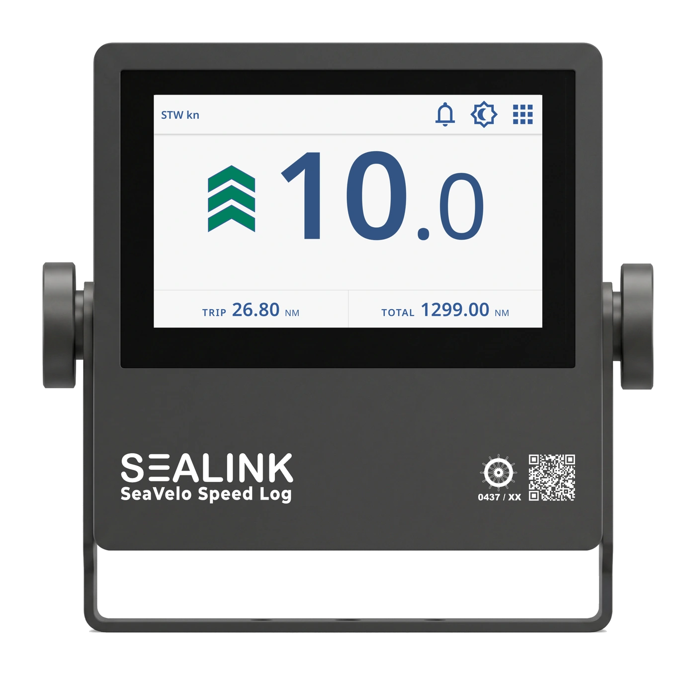
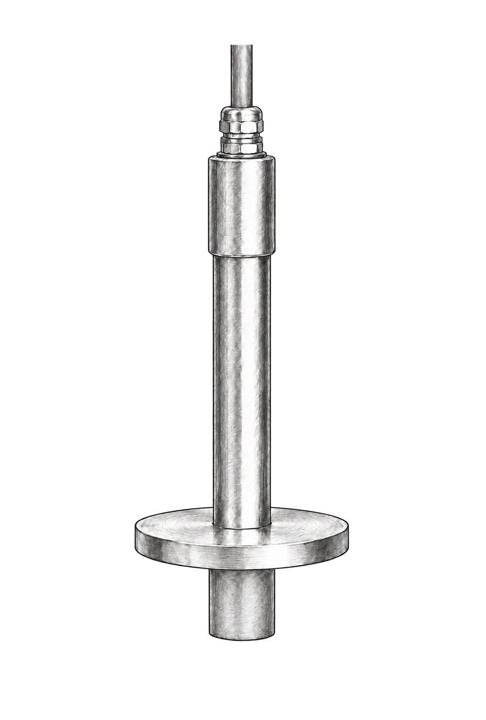
SeaVelo reads speed through water from a transducer set into the hull, in the flow under the ship rather than from a position fix. The display holds that speed with the trip log and the total log counting alongside it.
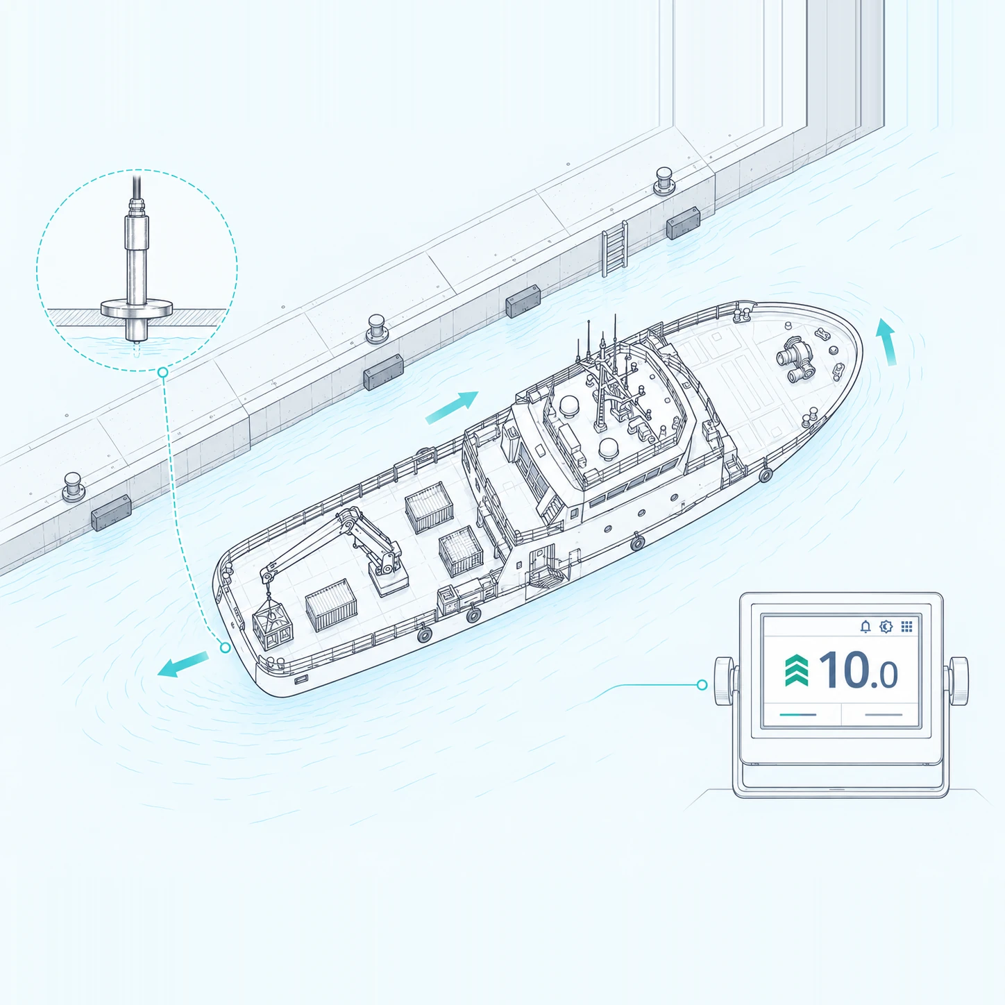
Docking speeds, bow and stern
Alongside, the rate the bow is moving, the rate the stern is moving and the speed ahead are shown together, so the approach is read from the instrument rather than judged by eye.
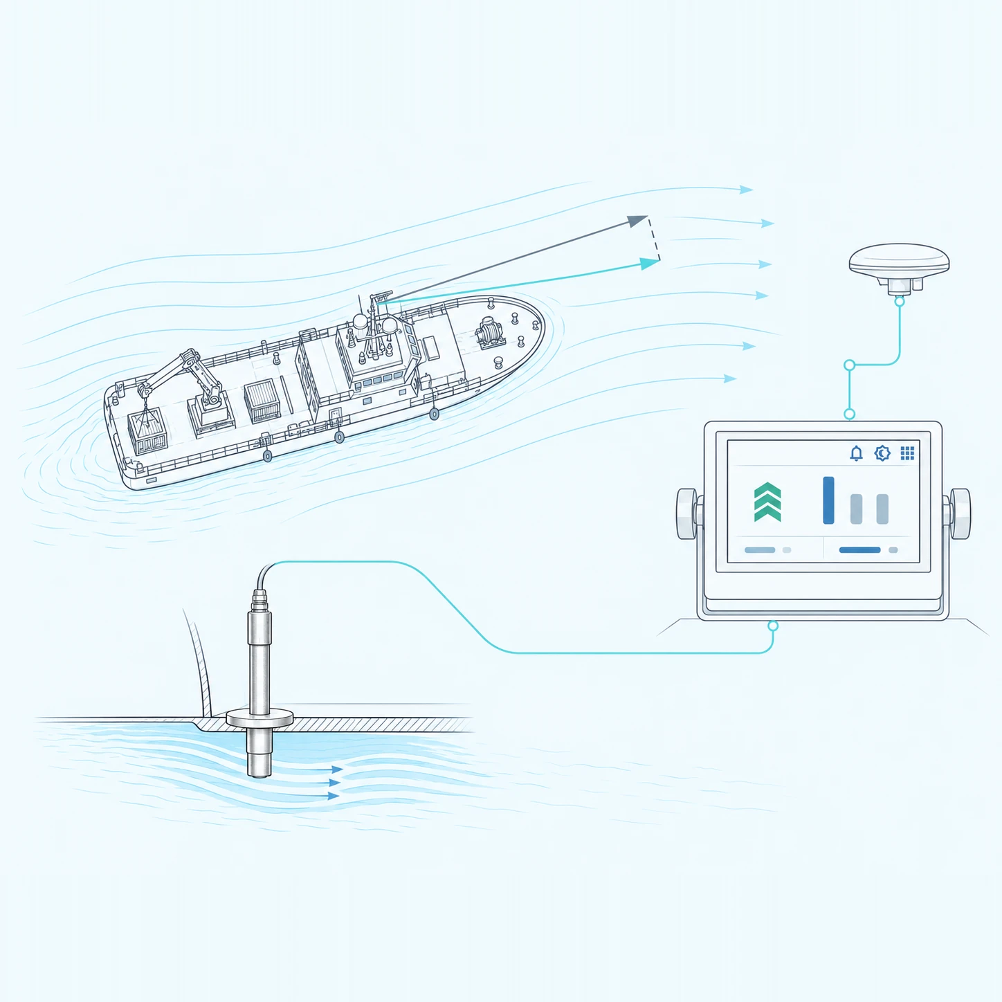
Set and drift, worked out on board
Speed through water is held against speed over ground and, with the required navigation inputs, the set and the drift of the current are derived from the difference.
Key Benefits
Speed through water with trip and total distance log.
Dual-axis docking speeds at bow, stern and ahead.
Set and drift derived from STW against SOG.
Depth below surface and below keel on the same display.
Speed you can trust, drift you can see.
A speed log that explains itself.
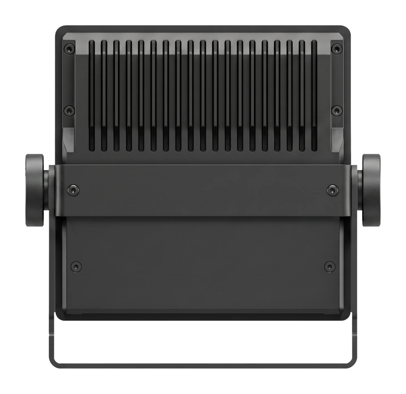
SeaVelo is a speed and distance indicator built on the SEALINK 5200 bridge platform. It presents speed through water with trip and total log distance, longitudinal and transverse speed components, bow and stern speeds on a plan view of the hull for berthing, rate of turn, heading and course over ground, and depth below surface and below keel. Where a conventional log display stops at a speed figure, SeaVelo puts speed through water and speed over ground on the same screen and derives the set and drift of the current from the difference between them — turning the gap between the two readings into usable information for passage planning, manoeuvring and fuel-conscious operation. A 5” capacitive touch display with AG/AF coating takes its inputs from the vessel's existing log, GNSS, gyro and echo sounder over standard NMEA 0183, with a dedicated Bridge Alert Management channel.
System Specifications
Display
5” capacitive touch display with AG/AF coating
Sensor
SEALINK Speedlog sensor
Power
12-24 V DC, dual DC power inputs with automatic redundancy and power failure alarm
Environment
-20 °C to +70 °C, compass safe distance 1.30 m standard / 0.85 m steering
Interfaces & Integration
Power
12-24 V DC, dual DC power inputs with automatic redundancy and power failure alarm
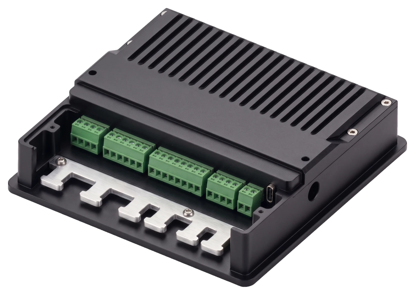
Sensor port
Full duplex RS-422 port with 24V DC current monitoring
High-speed NMEA
4 × configurable NMEA 0183 ports, input or output
BAM interface
Full-duplex NMEA port for the Bridge Alert Management network
Dry-Contact
One dry-contact ss-relay interface
USB
USB-C, for backup and software updates
SeaVelo System Includes
1 × Display Unit
5200 (5-inch)
1 × Display Mounting Bracket
DBRT, deck or flush mount
1 × Power Cable
12-24 V DC, fused
Also supplied
Quick-start card, digital-manual QR card and the installation manual
Know what the water is doing.
SeaVelo gives the bridge one place to read speed, distance and drift — for berthing, passage planning and performance monitoring. The log, the satellite speed and the current that separates them, on a single display.